- Role
- Front-end & UI developer
- Period
- 2022–2023
- Register
- Geospatial
- Locus
- 06°53′S 107°36′E
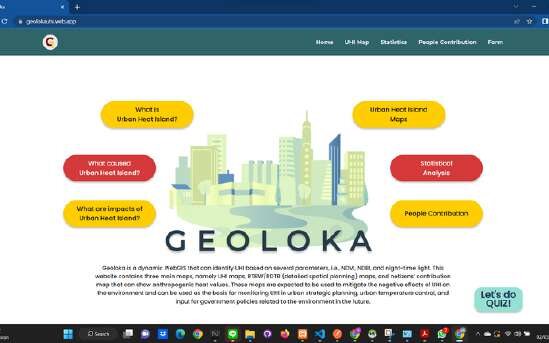
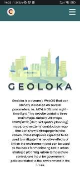
A dynamic WebGIS that identifies urban heat islands, with full UI across landing, monitoring, and data-entry forms.
01Context
An environmental mapping product that needed a complete, coherent interface from landing page through live monitoring.
02Approach
- 01
Built the full UI in React with Redux for state and Leaflet for the map surface.
- 02
Covered the whole surface: landing, monitoring views, and form flows.
- 03
Backed it with Firebase for data and hosting.
03Outcome
A self-contained mapping app shipped end to end, live at geolokauhi.web.app.
04Stack
- React
- Redux
- Leaflet
- Firebase